Cape Town to the Overberg A Three Stop Coastal Road Trip
A practical guide to Cape Town to the Overberg A Three Stop Coastal Road Trip.

Planning the Route from Cape Town to the Overberg
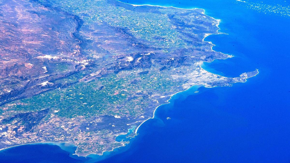
The Overberg sits just east of Cape Town, a region framed by the Hottentots-Holland mountains to the west, the Riviersonderend Mountains to the north, the Atlantic and Indian Oceans to the south, and the Breëde River to the east. For a road trip, this geography creates a natural corridor with two distinct driving options. The quickest route to reach the coastal hub of Hermanus follows the N2 east past Somerset West, climbing over Sir Lowry's Pass and Houw Hoek Pass before turning onto the R43 at Botrivier. That journey covers roughly 120 kilometres and takes about 1 hour and 45 minutes without stops.
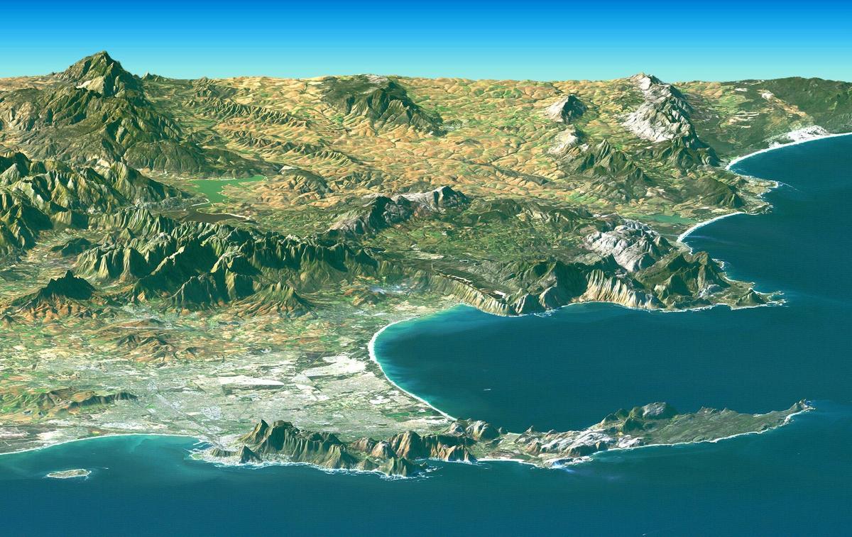
The alternative is the coastal road known as Clarence Drive. This route leaves the N2 at Gordon's Bay and hugs the False Bay coastline for approximately 22 kilometres of cliffside driving to Rooi-Els, then continues through Pringle Bay, Betty's Bay and Kleinmond before meeting the R43 near Botrivier. The full coastal option runs around 140 kilometres. With photo stops, plan for roughly 2.5 hours. The choice between the two is a tradeoff between efficiency and scenery. If time is tight, the N2 and R43 combination is the practical pick. If the journey itself is part of the experience, Clarence Drive delivers a far more dramatic drive.
Checking Conditions on Clarence Drive
Clarence Drive is a provincial road managed by the Western Cape Department of Infrastructure. There are no toll fees, but the route is prone to closures from rockfall, coastal storms and slope repairs. This is especially true during winter, from June to August. Before committing to the coastal drive, check the official closure notices published by the Western Cape Department of Infrastructure. A closure can force a backtrack to the N2, so a quick status check saves frustration. Even when the road is open, drive cautiously through sections where recent repair work may have left uneven surfaces or loose debris near the roadside.

First Stop in the Kogelberg Biosphere
The entire coastal stretch from Gordon's Bay to the Bot River estuary falls within the Kogelberg Biosphere Reserve, designated by UNESCO in 1998 as South Africa's first biosphere reserve. It covers approximately 103,629 hectares and extends inland to Grabouw. This is not a single gated attraction but a vast protected landscape. Two stops in Betty's Bay let you experience it up close.
Stony Point Nature Reserve, managed by CapeNature, is home to a mainland African penguin colony. A raised boardwalk lets visitors observe the birds without disturbing their habitat. The reserve operates from 08:00 to 16:30 daily, with the last permits issued at 15:45. Entrance fees are set by CapeNature and change periodically; check the official tariff page before visiting to confirm the current cost for adults and children.
A short drive away, the Harold Porter National Botanical Garden sits against the mountain slopes. Managed by SANBI, it is open every day of the year. Weekday hours are 08:00 to 16:30, while weekends and public holidays run 08:00 to 17:00. Visitors already inside may stay until 18:00 in winter, from April to October, and until 19:00 in summer, from November to March. The daily entrance fee is not published on the official SANBI page, so confirm the gate price directly with the garden before arriving. The R44 through Betty's Bay now has a reduced speed limit of 60 km/h on the section near the commercial area known as The Hub and the entrance to Harold Porter, a change announced by the Western Cape Department of Infrastructure in June 2025. Slow down early and watch for pedestrians crossing between the garden and nearby shops.
Second Stop in Hermanus and the Cliff Path
Hermanus sits on the edge of Walker Bay. The town's defining feature is the Hermanus Cliff Path, a roughly 12-kilometre route that traces the coastline from the New Harbour in the west to the mouth of the Klein River in the east. It forms part of the Fernkloof Nature Reserve. The path is not a wilderness trail but a well-defined walkway that connects the town centre to quieter stretches of shoreline. You can join it at multiple points and walk a short section or the full length depending on your schedule.
Southern right whales migrate into Walker Bay to calve and mate between June and November each year. The peak months for whale numbers are September, October and November. The Cliff Path's elevated vantage points make it a practical place to scan the bay during those months, but the path itself is a worthwhile walk in any season.
Third Stop in Fernkloof Nature Reserve
Above Hermanus, the Fernkloof Nature Reserve covers 18 square kilometres in the Kleinrivier Mountains. A network of colour-coded trails spans 60 kilometres, ranging from short walks to full-day hikes. Entry is free, though donations are welcome. Summer hours run from 06:00 to 19:00, and winter hours from 07:00 to 18:00. Trail conditions can change after storms, and sections of the Red Route have previously been affected by storm damage. Before setting out, check the current trail status through the Overstrand Municipality's official notices. This is not a formality; a closed trail can mean a wasted drive up the mountain or a dangerous detour.
Structuring a Three-Stop Itinerary
A logical three-stop road trip from Cape Town uses the coastal route out and the inland route back, or vice versa, to avoid repeating the same scenery. Start early and make Betty's Bay the first stop, splitting time between Stony Point and Harold Porter. Continue to Hermanus for the second stop, walking a portion of the Cliff Path in the afternoon. The third stop, Fernkloof, works best the following morning when temperatures are cooler and the light is good for views over the bay. Return to Cape Town via the N2 and R43 to save time. This structure keeps driving distances manageable and gives each stop enough time without rushing.
The Overberg District Municipality governs four local municipalities: Cape Agulhas, Overstrand, Theewaterskloof and Swellendam. This three-stop route stays within the Overstrand area, but the broader region offers extensions to Cape Agulhas or Swellendam for travellers with extra days. For a focused coastal road trip, however, Betty's Bay, Hermanus and Fernkloof form a compact and varied itinerary that fits neatly into a weekend.
Sources and verification
- odm.org.za — Research source checked for this guide
- westerncape.gov.za — Research source checked for this guide
- hermanus-tourism.co.za — Research source checked for this guide
- hermanus.info — Research source checked for this guide
- westerncape.gov.za — Research source checked for this guide
- unesco.org — Research source checked for this guide
Read next
-
 Western Cape Hotels – From Vineyard Stays to Cliffside Guesthouses
Western Cape accommodation ranges from Winelands vineyard manors to clifftop guesthouses above the Whale Coast. Here is what your budget gets in each region.
-
 Where to Stay in the Western Cape – Which Town Matches Your Trip
Your choice of base town in the Western Cape shapes everything from driving times to wind exposure. Compare Cape Town, Stellenbosch, Hermanus, and Knysna side by side.
-
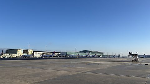 Flying Into Cape Town International and When Johannesburg Works
Flying into Cape Town International, what the airport transfer options are, and when Johannesburg or George Airport is the smarter entry point.
-
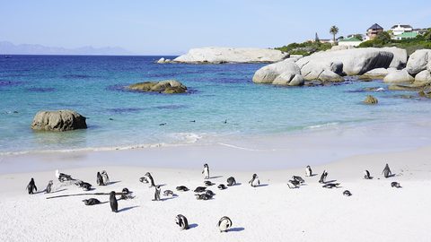 Things to Do in the Western Cape – Spending Limited Days Well
Not every Western Cape attraction earns its driving time. Here are the experiences that justify limited holiday days, from Table Mountain to the Knysna lagoon.
-
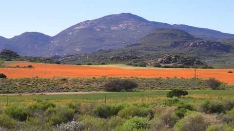 Best Time to Visit the Western Cape – Wind, Whales and Honest Months
The Western Cape's best month depends on your tolerance for wind, whales, or wildflowers. Here is an honest month-by-month breakdown, including when to avoid the coast entirely.
-
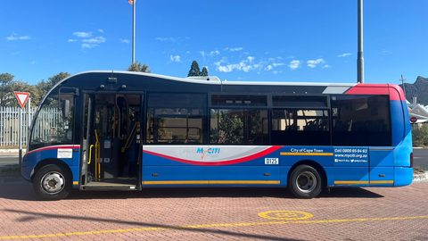 Getting Around the Western Cape – Airport Transfer and Why You Need a Car
Cape Town airport has a fast MyCiTi bus to the city, but beyond the City Bowl you will need a rental car. Here is why, and what Google Maps gets wrong about driving times.
-
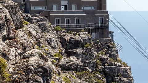 Table Mountain
The Table Mountain cableway closes on wind, often for days in summer. Plan with a live forecast, flexible tickets, and a backup day.
-
 Robben Island
 ferry tickets sell out 2+ weeks ahead in peak season and still cancel for weather. Book early, keep the day flexible, know the refund policy.
-
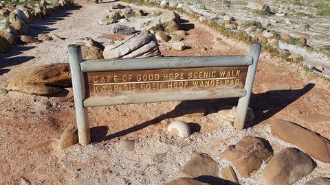 Cape Point
 is not the southernmost tip of Africa—Cape Agulhas is. Here is what Cape Point actually offers and why it is still worth the drive.